No TankerTime July 6 due to weather!
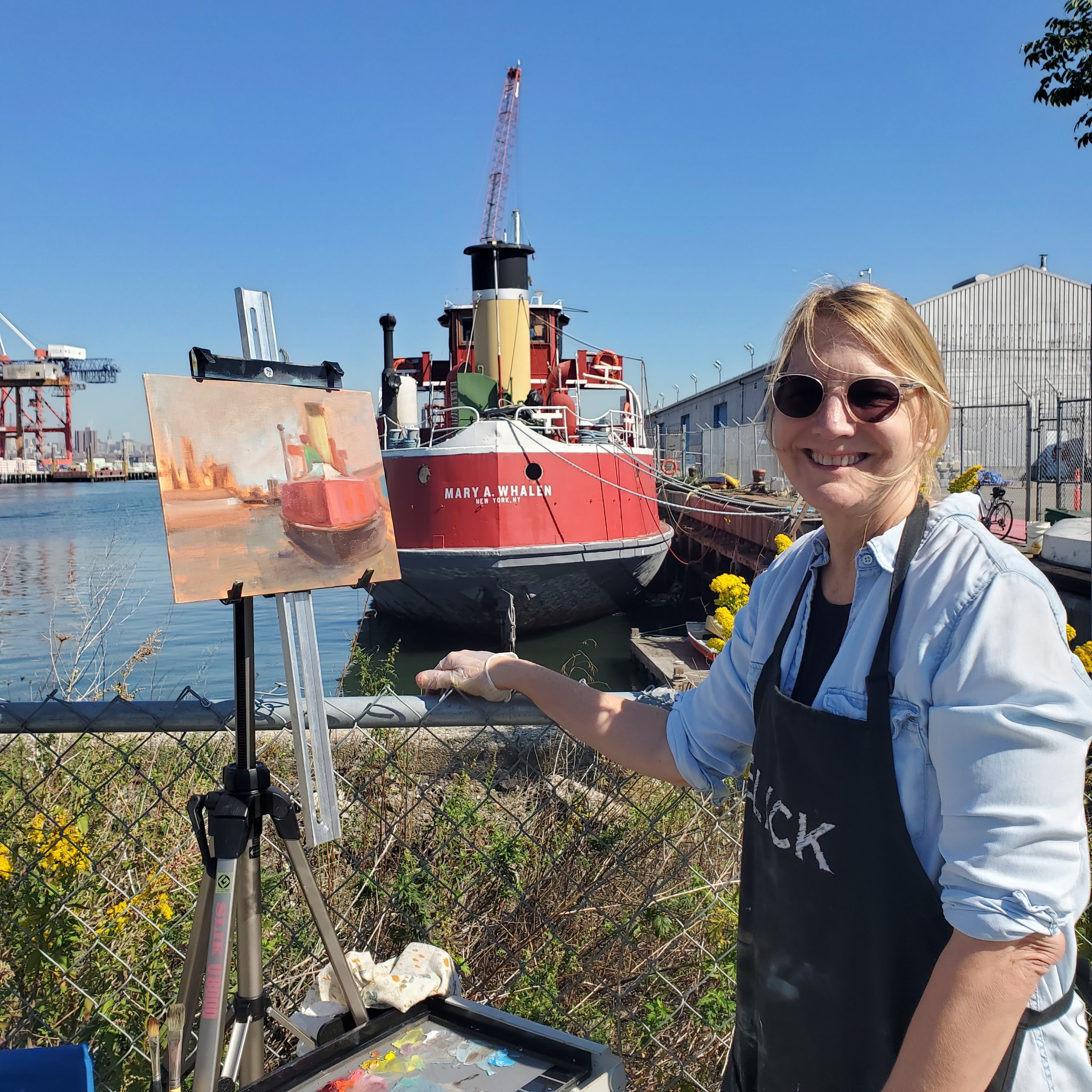
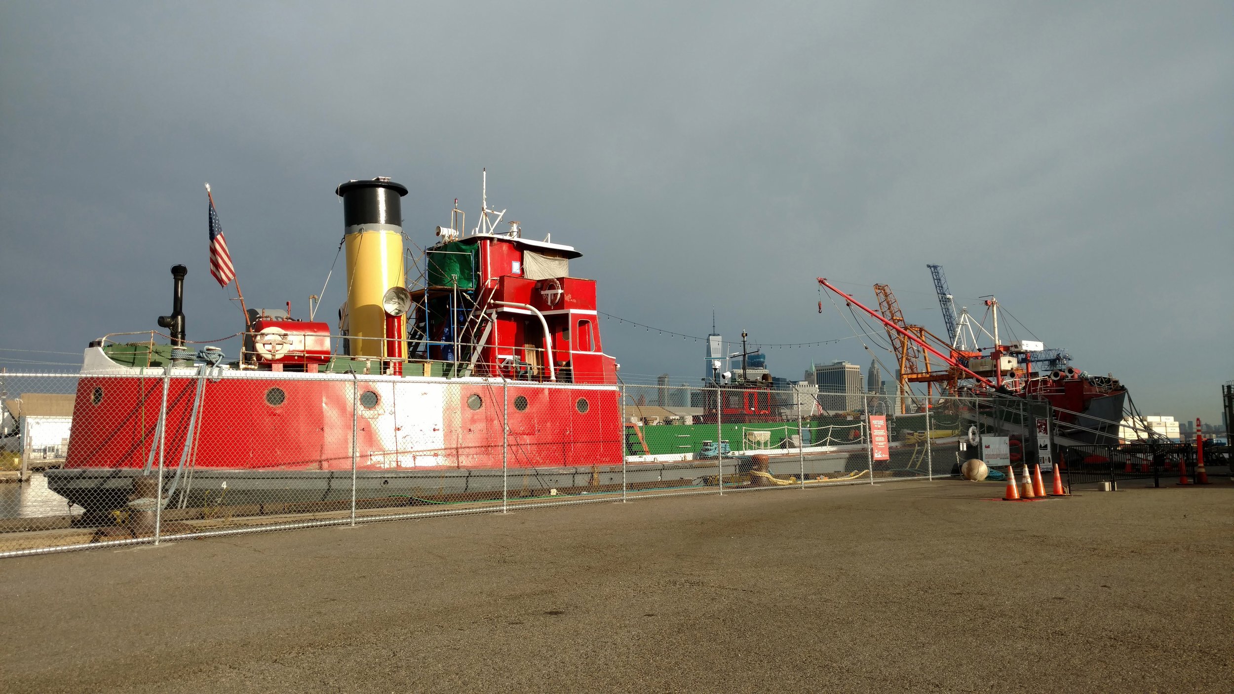
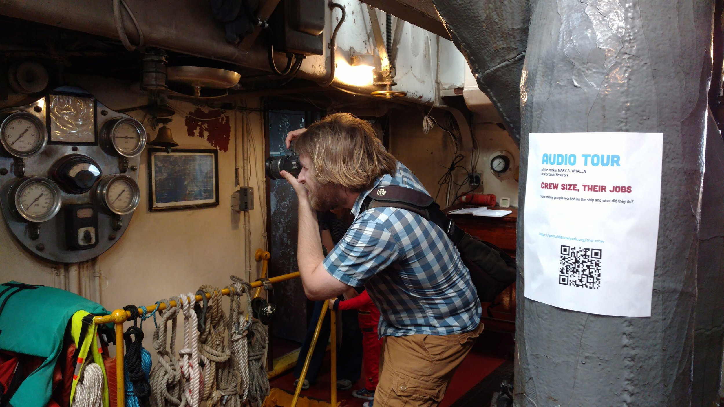
PortSide’s home until we have a larger PortSide Campus, is the ship MARY A. WHALEN. She is an oil tanker, so we have activities branded with the word “tanker.” See webpage Calendar for scheduled events. Until we get building space, the interior of the ship has our offices and program space, so we open it for public tours only a few times a year. You can schedule a group tour using our webpage Contact.
Hours
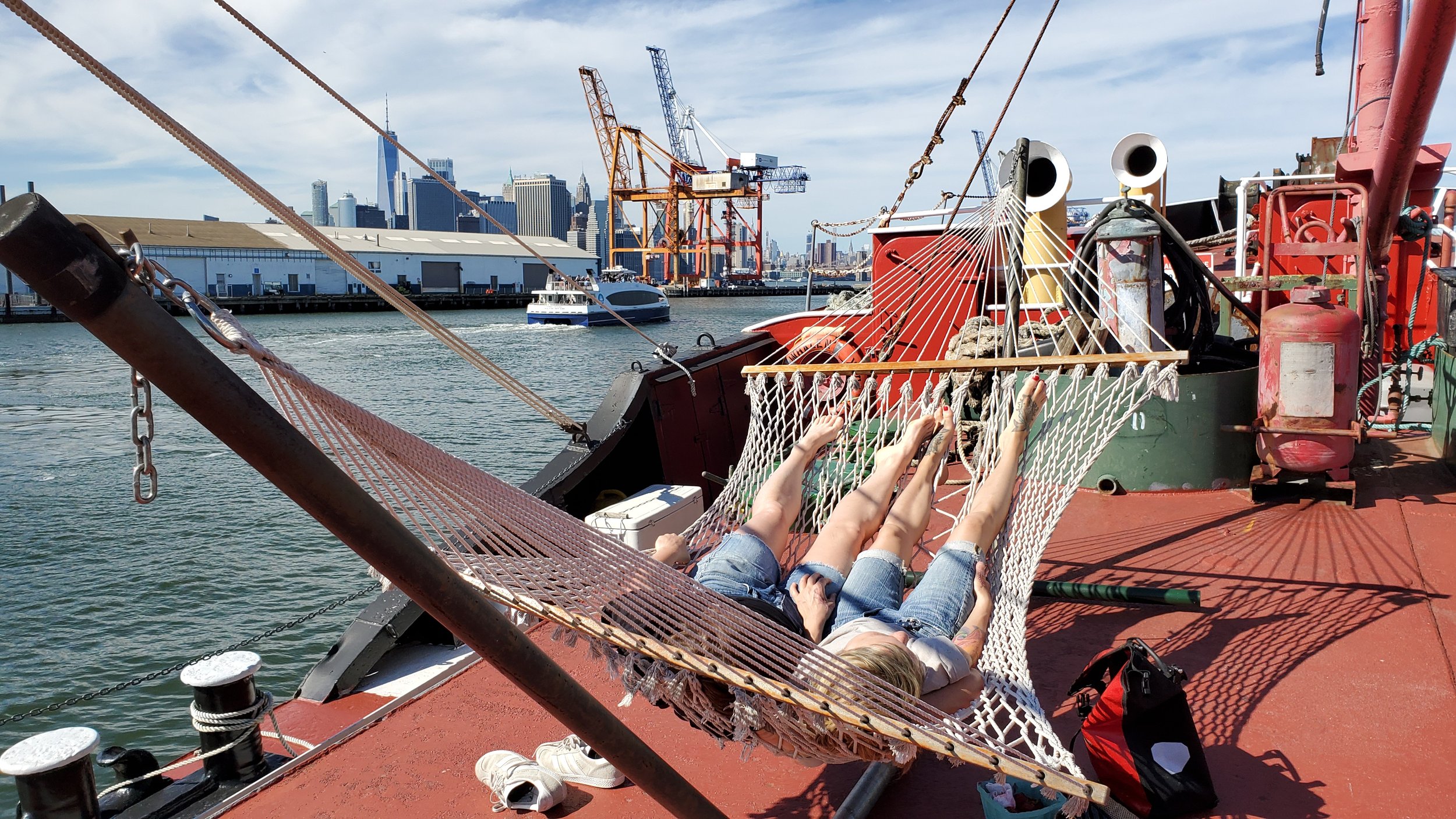
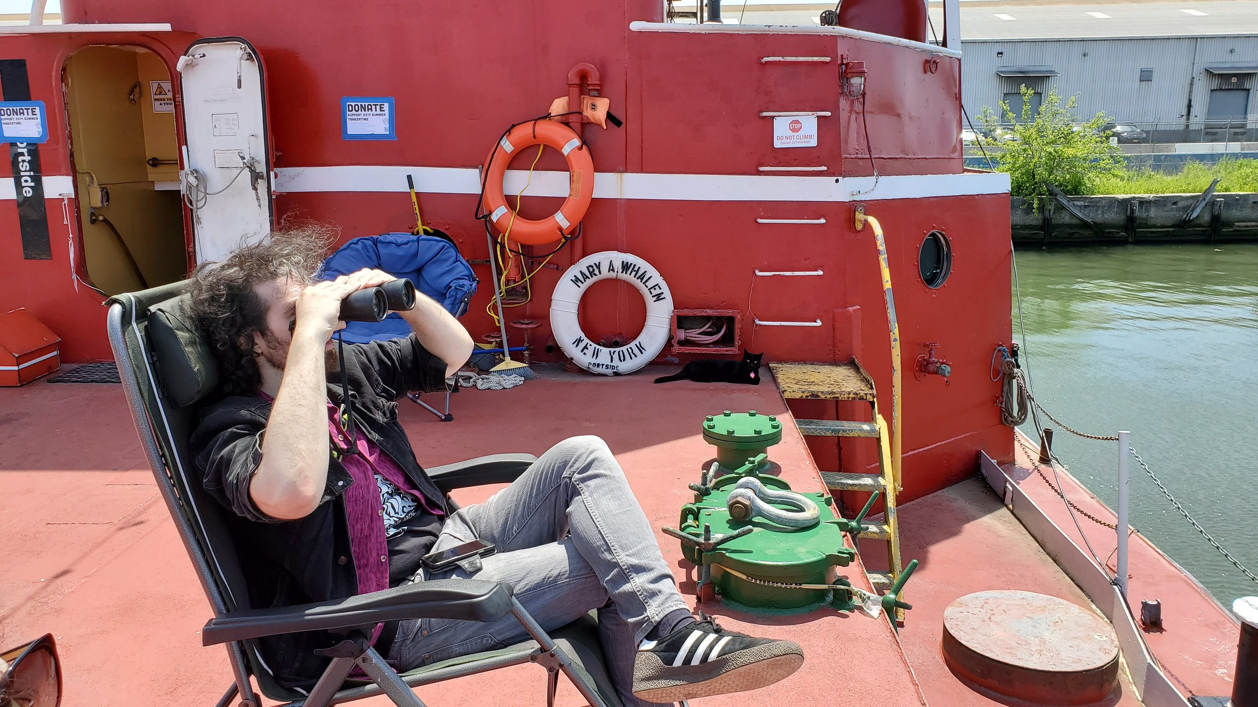
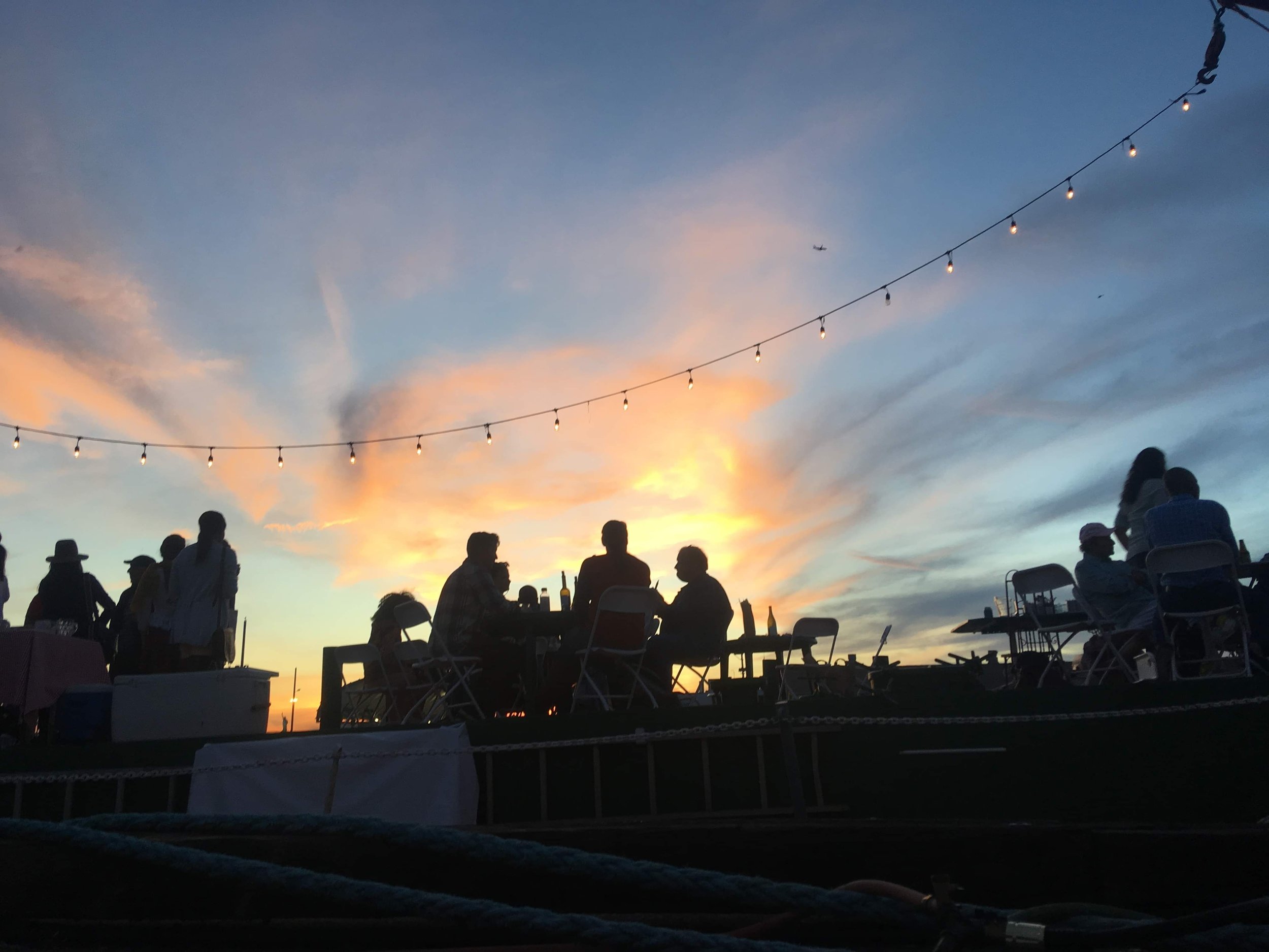
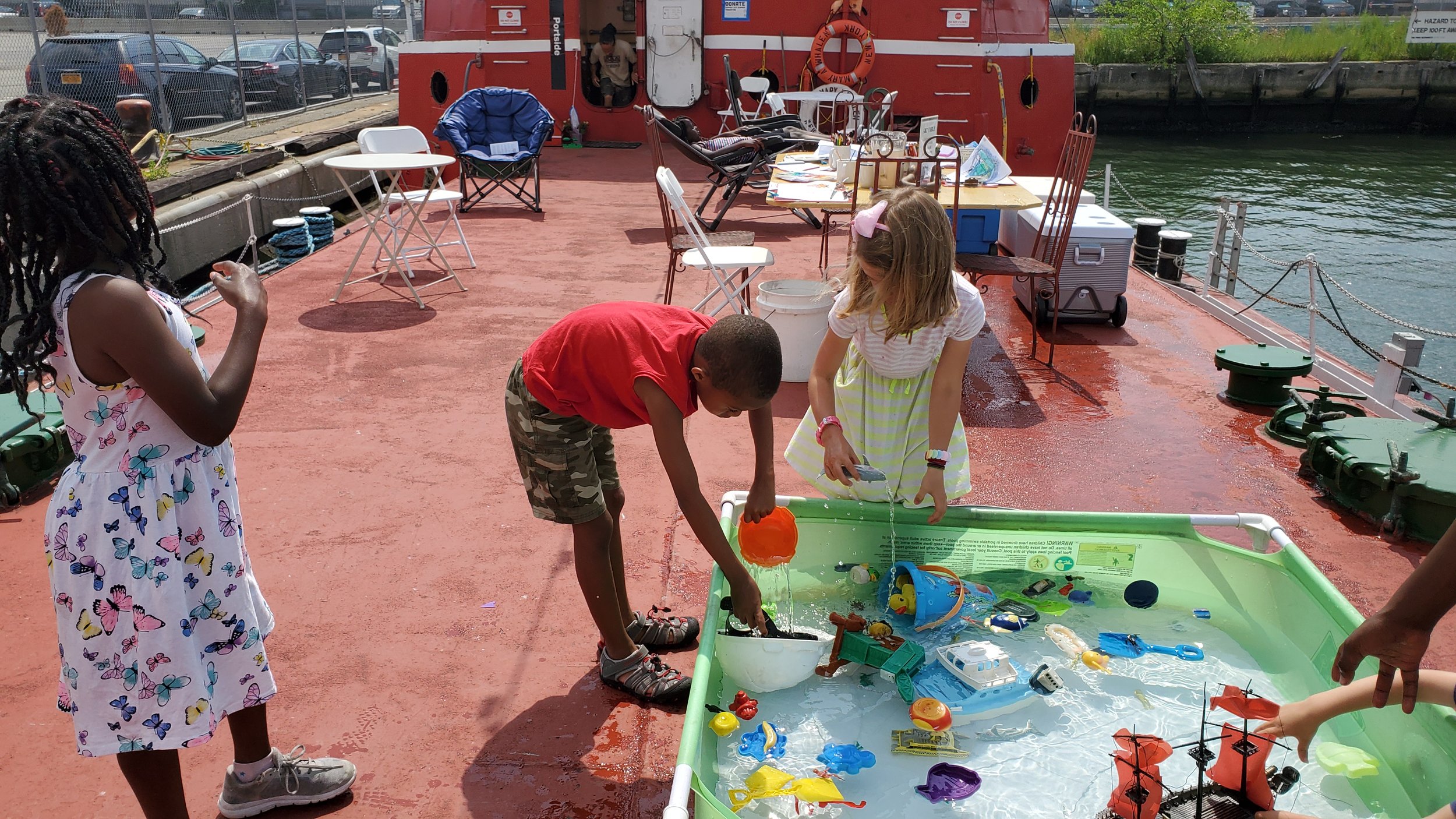
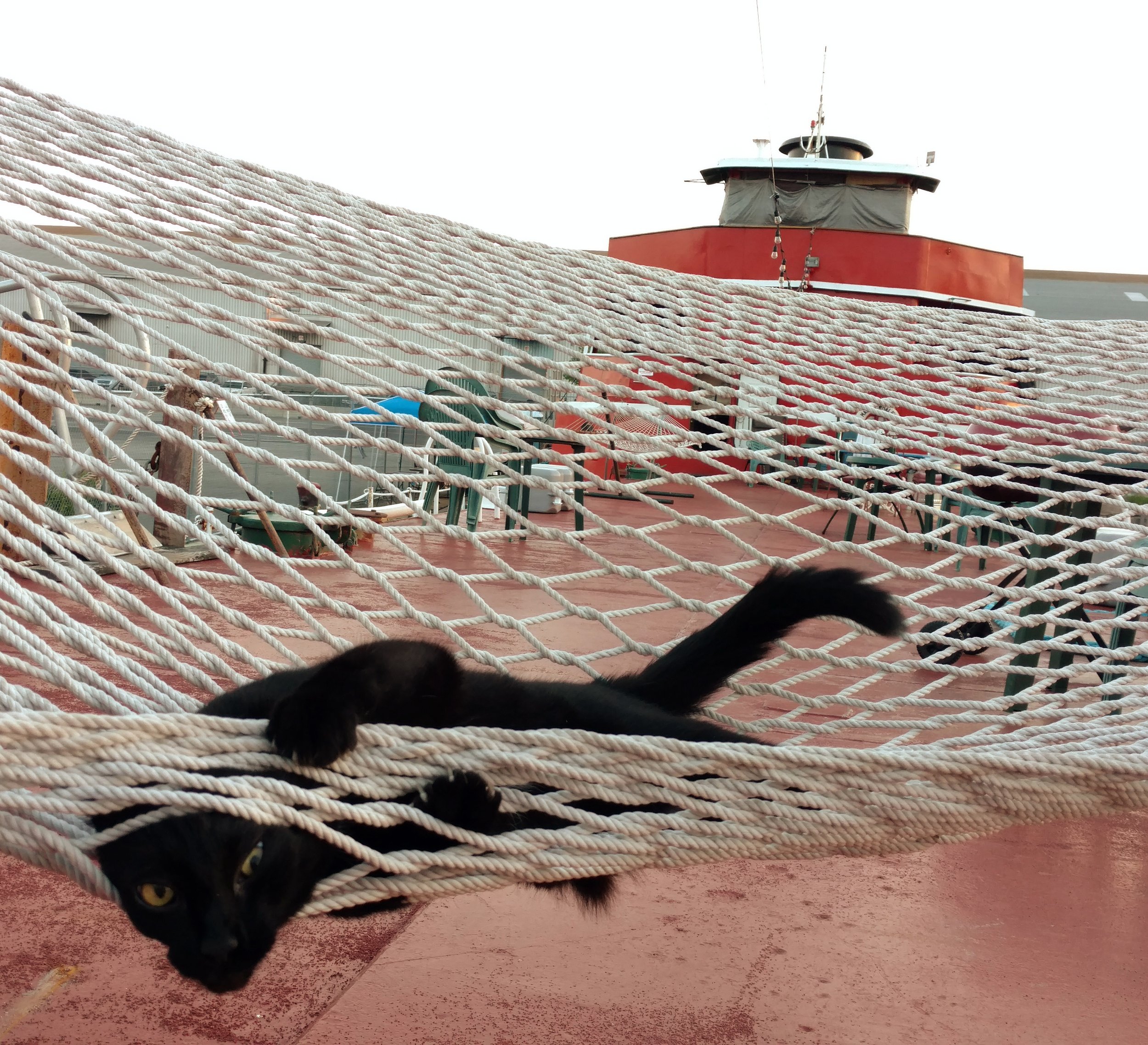
TankerTime = enjoy the deck and kids education space in the Tankerman’s cabin, see webpage Tanker Time.
TankerTime is 7 days a week, 12pm to 6pm, sometimes starting earlier at 10am on weekdays and usually later on weekdays since the office staff works late, unless a special alert is posted here. Hours can change if we have an offsite or are painting the ship deck, so check back before visiting!
Where we are
Google Maps pin for directions to us is here.
40°40'50.0"N 74°00'45.0"W (google map)
Address of 202 Clinton Wharf works for Lyft.
The MARY is docked on Pier 11, Atlantic Basin next to Red Hook/Atlantic Basin NYC ferry stop, near the Brooklyn Cruise Terminal. Enter Atlantic Basin by bike or foot at the west end of Pioneer Street at Conover Street, and by car at the corner of Bowne and Imlay Streets.
How to get here
Take the NYC Ferry right to us.
Citibike dock "Pioneer St & Van Brunt St" is half a block away.
We are next to the Brooklyn Greenway at Pioneer and Conover Streets.
We are a block and a half from Van Brunt Street where the B61 bus stops. Go to our Red Hook WaterStories website and click the map, then click the map layer "MTA bus stations" to see where we are relative to the bus stations.